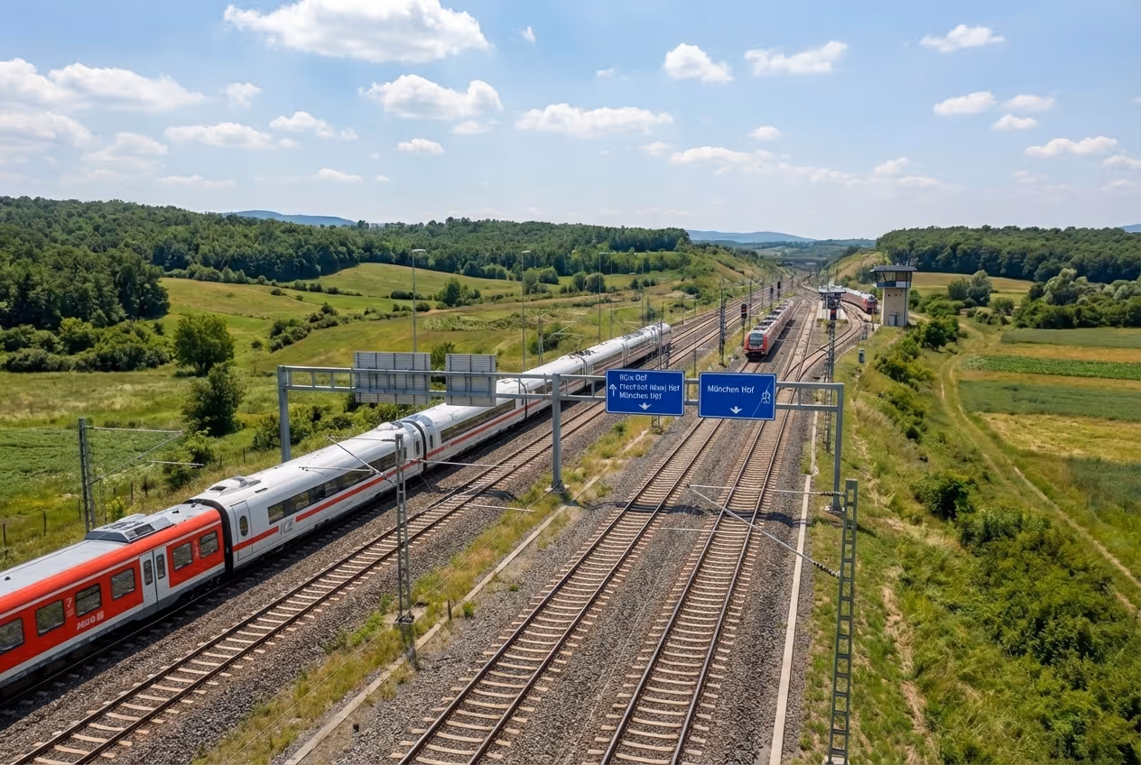
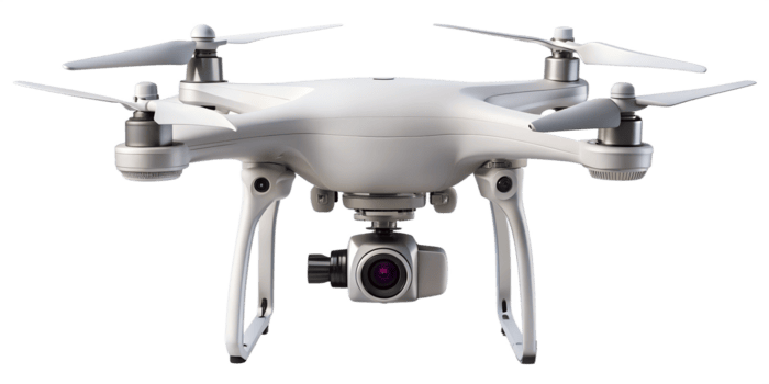
Infrastructure Decisions
Powered by Verified Data

IDL delivers AI-driven inspection and analytics platforms that transform raw aerial data into structured, auditable intelligence — enabling infrastructure owners, contractors, and authorities to make faster, more defensible decisions.

Request Demo
Infrastructure Data Lab team

About Company

At IDL, we develop sophisticated analytics systems that quickly, precisely, and at scale transform unprocessed data into understandable, useful insights. Our solutions combine advanced AI with proven engineering practices to deliver tools that are not only visually clear, but genuinely solve real‑world challenges.

From construction and infrastructure to finance, compliance, and insurance, we operate in industries where accuracy and speed are essential. Measurable impact, lower risk, and operational clarity are our main goals whether we're automating quality assessment for whole road networks, developing predictive maintenance models for industrial assets, or expediting compliance monitoring.

"AI for the sake of AI" is not what we construct. We create systems that work well with your operations and produce dependable, long-lasting outcomes.

Contact Us

Measurable Performance
Proven at Scale

70%

reduction in inspection time vs. conventional on-site methods

50 sec.

from aerial scan to
structured results

Drone for road inspection
40%

cost savings compared to manual inspection workflows

97%

precision in automated
defect classification

Our Capabilities

Drone icon

Automated Road Inspection

A drone-based platform for high-throughput road assessment. Aerial imagery is processed by proprietary AI models to produce standardised, georeferenced defect data — supporting road safety management, maintenance planning, and construction acceptance across national and regional networks.

Data processing node icon

Tailored Analytics & Reporting

Our engineering team designs custom inspection pipelines, dashboards, and structured compliance reports aligned with your contractual obligations and applicable regulatory standards. Outputs are formatted for direct use in formal submission and long-term archiving.

Infrastructure field worker icon

Licensed Operational Teams

All aerial data collection is conducted by certified operators fully licensed for commercial inspection and surveying under applicable aviation regulations — ensuring legally compliant, chain-of-custody documentation from capture to report.

Infrastructure system icon

Intelligent Automation Platform

A high-performance, cloud-native backend processes drone data in real time. Role-based access control, secure evidence retention, and an intuitive web dashboard give every stakeholder — from site engineer to project director — the right data at the right level of detail.

Data platform dashboard icon

Dedicated 24/7 Support

Technical and operational specialists are available around the clock to ensure seamless onboarding, continuity of operations, and rapid resolution of any field or platform issues.

Drone icon

Operational Scope

A drone-based platform for objective road marking inspection and compliance checks. It converts aerial imagery into measurable, standardized results that support road safety supervision, maintenance planning, and construction acceptance.

Data processing node icon

Inspection Workflow

Drone imagery is captured and analyzed to extract measurable marking, geometry and position. Results then are automatically checked against project standards. And engineers review and verify results, with full traceability from source images to final compliance reports.

Cloud data upload icon

System Architecture

A cloud-native system that keeps data and results centralized and consistent across projects. Heavy image analysis runs on scalable servers, with built-in traceability so every result links back to the source imagery.

Infrastructure system icon

Core Technologies

The platform built with TypeScript for reliable data models and fewer production errors, running on Bun for high-performance processing of large, high-resolution datasets. Convex enables real-time synchronization so teams see the latest analyses, reviews, and approvals instantly.

Data platform dashboard icon

Application Interface

A web dashboard built with Next.js and React for clear visualization of drone imagery, measurements, and compliance results. Hosted on Vercel for secure access, high availability, and automatic scaling supporting field teams, engineers and decision-makers from any location.

The Inspection Workflow

Drone for road inspection

Data Acquisition &
Upload

Flights are conducted according to predefined parameters — altitude, overlap ratio, camera configuration, and ground sampling distance — to ensure consistent image geometry suitable for automated analysis. Embedded GPS metadata enables direct georeferencing of all detected elements along the project alignment.

Step 1 process icon
Step 2 process icon

Manual Georeferencing
(Where GPS is Unavailable)

When GPS data is absent or of insufficient accuracy, imagery is manually referenced to project coordinates — chainages, stations, or design alignment files — ensuring full usability regardless of drone hardware or site constraints.

Design Compliance Verification
(New Markings)

For newly constructed pavements, detected road markings are cross-referenced against uploaded design layers. The platform verifies position, alignment, and stationing against approved drawings — critical for safety-sensitive elements such as overtaking prohibition zones.

Step 3 process icon
Step 4 process icon

Standards-Based Assessment
(Renewed Markings)

For repainting and restoration work, the platform evaluates geometric conformity against permitted tolerance thresholds. This identifies cumulative drift and progressive degradation that may be invisible to visual inspection yet still impair driver perception.

Verification Output &
PDF Reporting

Structured inspection reports are generated automatically, formatted for formal submission, contractual documentation, and regulatory archiving. Each report captures project metadata, inspection scope, status, and a complete record of identified irregularities.

Step 5 process icon
Step 6 process icon

Secure Storage &
Evidence Retention

All project assets — raw imagery, AI outputs, verification logs, and final reports — are retained within the platform for a recommended period of five years, supporting warranty assessments, audits, and potential legal proceedings.

Role-Based
Access Control

Platform permissions are configured by role: administrators, project managers, site engineers, supervisors, and contractor representatives each access only the data and functions relevant to their responsibilities.

Step 7 process icon
Map of countries where IDL operates

Our Reach

IDL supports infrastructure and engineering projects across Europe, working with governments, national road authorities, contractors, and asset owners to deliver faster, data-driven project outcomes.

Flag of Germany
Germany
Flag of Czech Republic
Czechia
Flag of Austria
Austria
Flag of Slovakia
Slovakia
Flag of Serbia
Serbia
Flag of North Macedonia
North Macedonia
Flag of Poland
Poland
Flag of Hungary
Hungary
Partner With Us

Project Types

Motorway for road condition analysis

General Road Quality Inspection

Systematic drone-based assessment of road surfaces across extended network segments.AI algorithms classify pavement defects — cracking, rutting, surface degradation — with consistent, repeatable accuracy. Outputs feed directly into maintenance prioritisation frameworks and long-term asset management planning.

Learn more >
Highway traffic for road monitoring

Road Marking Analysis

Automated compliance verification of road markings against design specifications and standards tolerances. The platform detects geometric deviations, fading, positional drift, and missing elements — delivering georeferenced defect inventories that replace subjective on-site evaluation and provide a legally defensible inspection record.

Learn more >
Railway infrastructure and passing train

Railway Infrastructure Monitoring

Continuous, non-disruptive aerial inspection of railway corridors, including tracks, embankments, drainage structures, and signage. AI-driven analysis produces structured condition reports that support planned maintenance, regulatory compliance, and incident risk reduction — without any operational interruption to active rail services.

Learn more >
Highway interchange aerial view in urban area

Site Monitoring & Change Detection

Periodic high-resolution drone surveys of defined areas — construction sites, critical infrastructure perimeters, or sensitive land zones — enable systematic comparison between survey epochs. The platform automatically identifies and documents material changes: earthwork progression, structural alterations, encroachments, or security-relevant developments.

Learn more >